HAWAIIAN ISLANDS
this gallery is in preparation
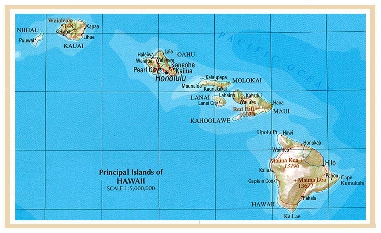
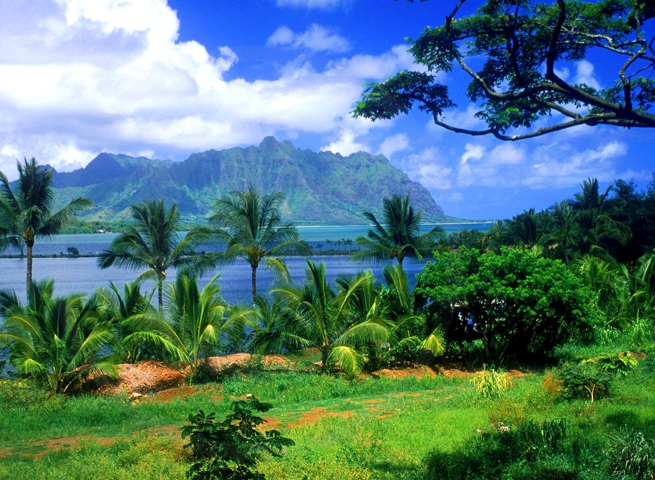
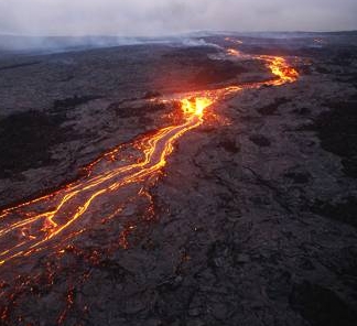
... the hawaiian islands are located at the northern
pacific ocean, about 3000 km west of us mainland. they
consist of four main islands, oahu, hawaii, maui and
kauai, plus many smaller islands. on the largest island,
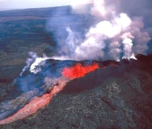
hawaii, are five volcanoes. of these, mauna loa is by far
the largest, and has repeatedly erupted. the population is
multi-cultural, including asians, white/kaukasians, native
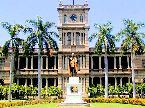
hawaiians and other pacific islanders. the state capital
is honolulu on oahu..

 |
 |
~~~~~~~~~~~~~~~~~~~~~~~~~~~~~~~~~~~