INTRODUCTION SVALBARD
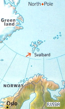
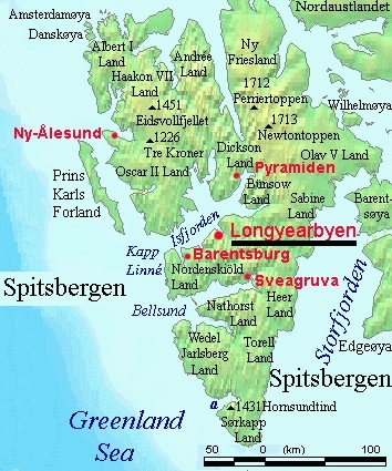
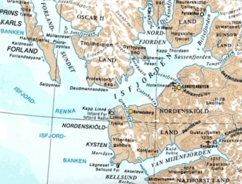
svalbard is a set of islands in the arctic ocean, governed by norway. they were possibly discovered by the vikings in the 12th century, and certainly 1596 by the dutch sailor barents. this archipelago is located halfway between northern norway and the northpole. the main island is spitsbergen, where the only villages are situated, longyearbyen, founded in 1908 as coal mining settlement and now svalbard's capital, barentsburg, a russian mining town, founded in 1920, and ny-alesund, founded in 1917, at first for coal-mining, the most northerly settlement in the world, now a research town.
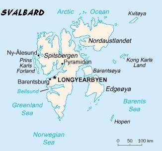
since 1600, a lot of hunting took place in spitsbergen, including whales, polar bears and foxes. meanwhile this has almost completely stopped. coal mining, dominating for about 100 years, is maintained on a small scale. however, pyramiden and sveagruva - the only full-scale coal mining place - have no permanent inhabitants anymore.
the svalbard islands are located north of the arcti circle, which means that they experience midnight sun in summer (no sun set) and polar night in winter.
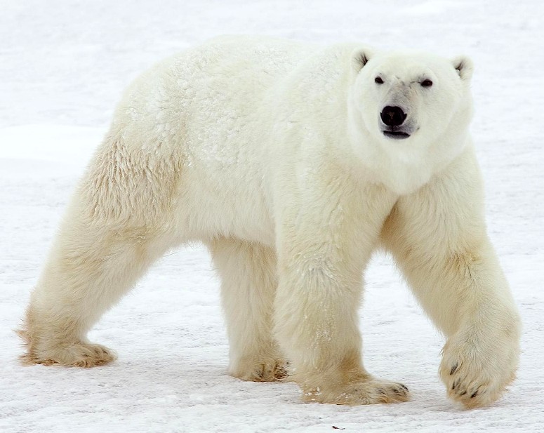
there are thousands and thousands of animals on all islands - on land, in the water, in the air. this includes the both famous and feared polar bear, the 'iconic' symbol of svalbard.
while hunting and mining (except of sveagruva) have mostly ended, svalbard and especially its core island, spitsbergen, have become a significant target of tourism, mostly by ship, and centered in longyearbyen. nevertheless, besides the polar bear, mining is still an essential symbol in spitsbergen.
