NORWAY
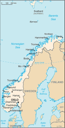
the country of norway, a kingdom (still) is located in northern europe, west of sweden. it is stretching far north to europe's north cape, and it includes the svalbard islands towards the north pole. population: 5.4 mio, capital: oslo.
history, briefly: :: 872: kingdom established, valid ever since. :: 750 to 950: prime time of norwegian vikings. :: 870 to 1010: discovered iceland, settled in greenland, detected america ("vinland"). :: 1537 to 1814: norway was a part of the kingdom of denmark and norway. :: 1814: lost old norwegian provinces of iceland, greenland, and faroe islands to denmark. :: 1814 to 1905: personal union with the kingdom of sweden. :: 1905: fully independent again. :: 1911: roald amundsen and his team first at south pole. :: 1940 to 1945: occupied by germany.
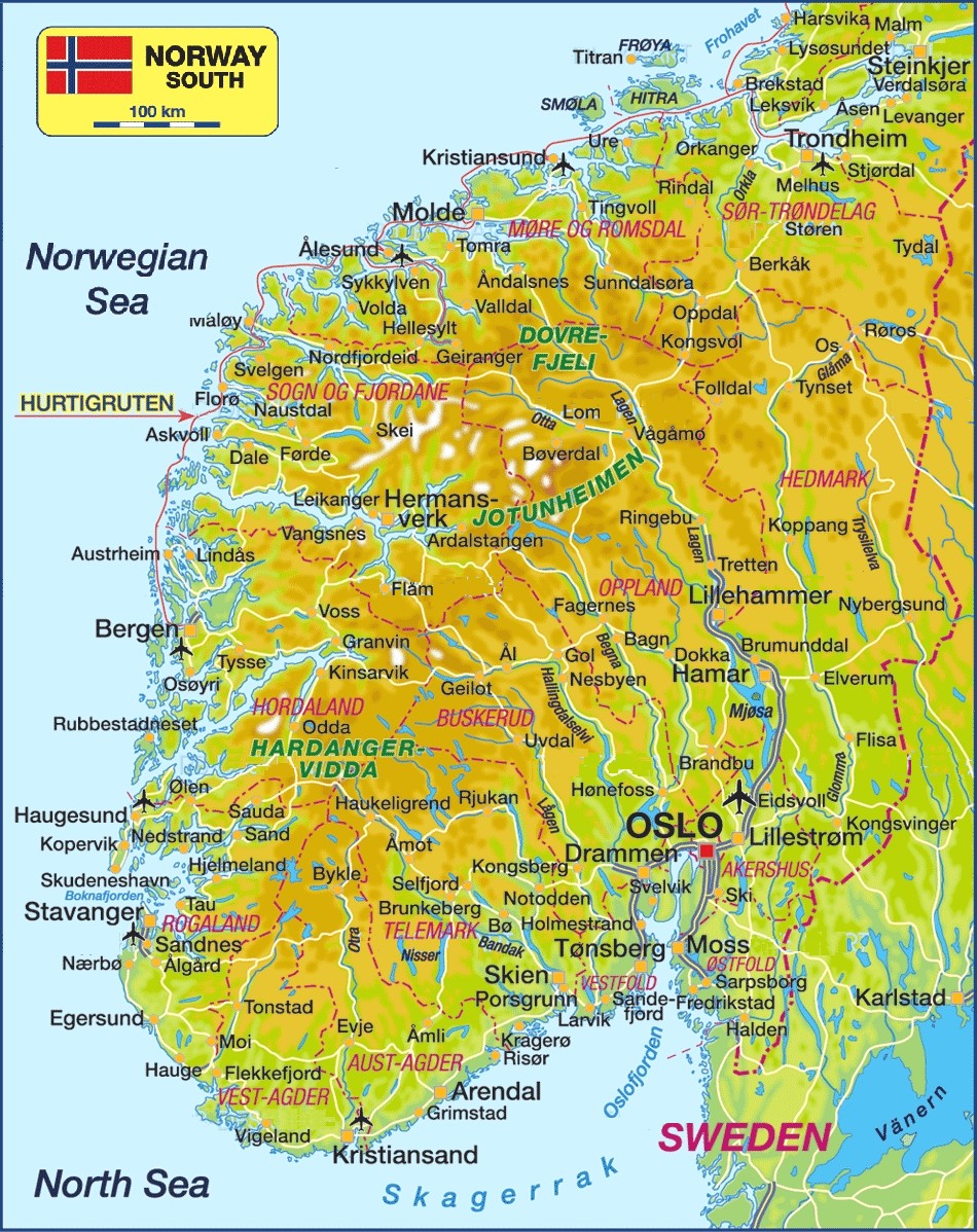
i gave norway many visits - first one: 1967 (dk+n+s) (whole coast up to the north cape); 1977 (oslo); 1979 (n+sf); 1987 (dk+n); 1991 (trondheim?); 1994 (oslo) 1997 (oslo); 2005 (oslo); 2007 (oslo); 2010 (oslo, tromso, spitzergen); 2014 (oslo, bergen - ship tour and trains); 2019 (oslo, telemark). all trips were conducted in summer or autumn. regarding my photography: until 2000 these were made first for picture booklets, then for slide projection. of those, only parts were later scanned to create computer pictures, used in this essay.